

Walk Oakland:
We have been using the "Walk Oakland" map as a reference guide in our kiosk. This great map includes all existing bike routes in the city and also, importantly, shows the grades of all roads: very helpful info for planning your eco-adventure. On the back of the map you find all kinds of tid-bits about Oakland local history. You can find this map for sale at Cody's (4th Street), Piedmont Office Supply (Piedmont Ave.), Laurel Books 4100 MacArthur Blvd.). Just by coincidence, we had set up our kiosk ride below the office window of the creator of this map, Jason Patton. Before he revealed his identity, he asked us some questions about the project----he just kept on grinning as we told him more, especially about how important it is for us to promote local ecotourism and make use of Oakland's new bike lanes. He was happy to see us use his map and told us that he will soon be issuing a third edition that will include more specific info about bike lanes.
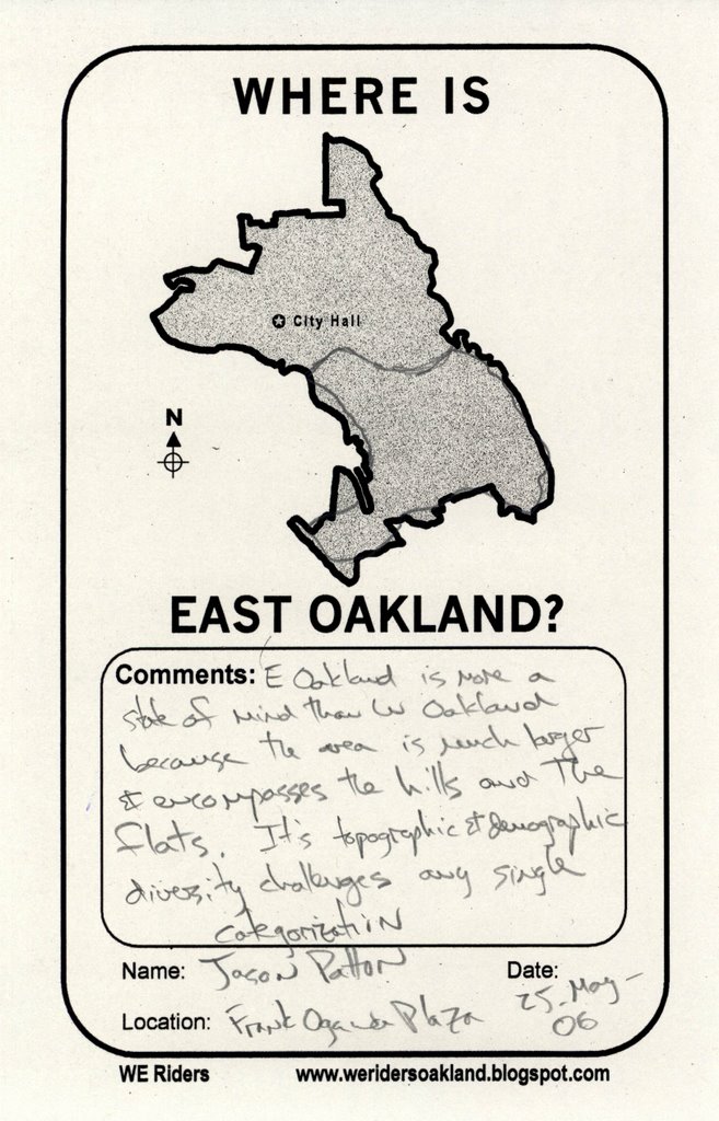
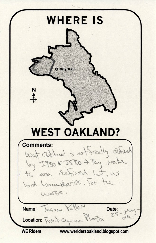
We took advantage of being able to talk to an 'expert' about the city and he told us this about West and East Oakland:
'West Oakland is clearly defined, unfortunately by the 580 and 980 Freeways and also the Port. East Oakland is more subjective: some people think it is anything east of the lake, some people say the hills and others include Fruitvale. The City's designation on internal maps bounds these regions with fuzzy edges. A lot the distinctions rest on social, racial and class issues.'
posted by marksearch at 4:22 PM
![]()
![]()

0 Comments:
Post a Comment
<< Home