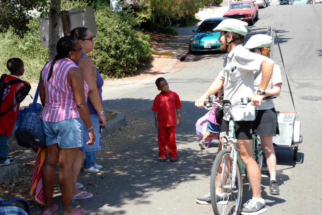
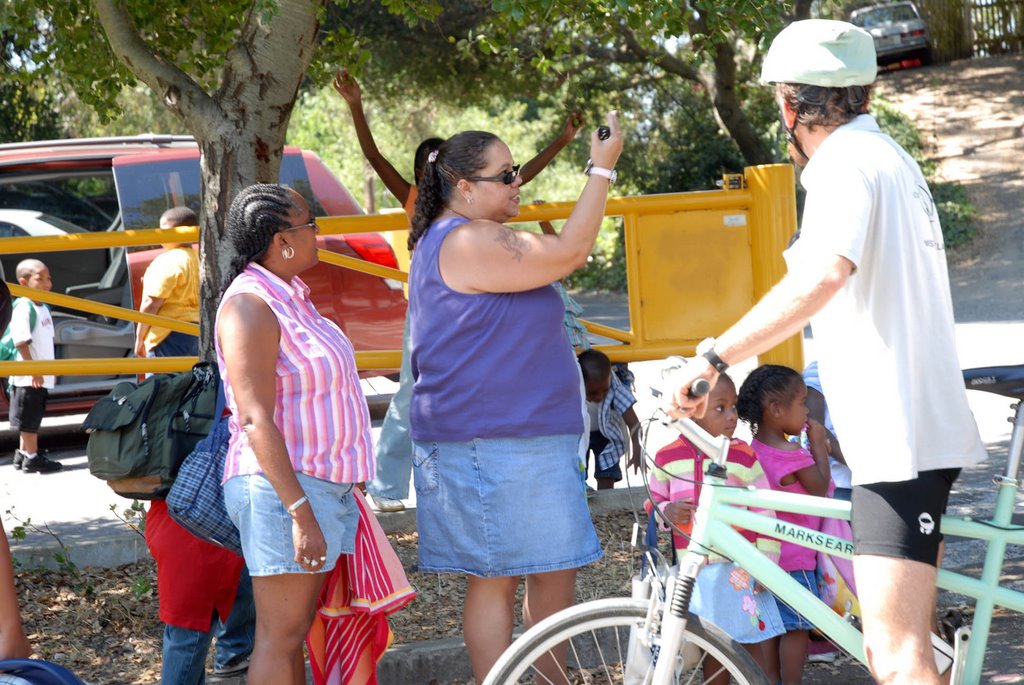
Saturday, July 22, 2006

HEADING EAST: JULY 21, 2006

Our Last Solo Ride:
Our last ride was on one of those unusually blazing late July days (where is the fog when you need it??). The change in our local weather has really made us think hard about globally shifting weather patterns. At least by riding our tandem we are not contributing to global warming and we hope, by using the city’s bike lanes, we can promote more cycling. It would be great if Oakland became known as a cycle-friendly city. We ironically talked about this as we rode through Broadway Auto Row, Oakland’s car dealership district. One ray of hope among all of these vehicles was a VW ad promoting new bio-diesel cars.

We started out early so that we would not wilt under the sun. One of our main goals on this ride was to publicize our upcoming group rides during which we plan to show off some of the city’s bike lanes and also lead folks to some of the interesting sites that we have found. So that we could reach the widest possible audience, we had our flyers translated into Spanish and Chinese (many thanks to Oakland’s Equal Access Office!). We distributed close to 1000 flyers to city farmers’ markets, local public library branches, city rec centers, cafes and bike shops.

Choosing Our Route:
While we were deciding on our route at City Hall, we spoke to a few people. It still surprises us, after many weeks of hanging out at Frank Ogawa Plaza, how eager and curious people are. We assumed that during the week business folks would breeze on by us with only maybe a slight glance. We spoke at length with one woman who was very excited about our project and extremely pro-Oakland. She was glad that we were doing something “that would make people really think about our city.” In her survey, she stated: “Oakland’s people all feel like extended family!”

It would be impossible for us to ride up in the hilly area of what some have called the ‘true’ East Oakland: our trailer weighs about 80 pounds. That’s a lot of extra weight to tow! We opted instead for some moderate hills: we would aim for the Laurel District. We hadn’t yet ridden on MacArthur Boulevard, a major city bike lane. On many surveys, this street was indicated as both a border and landmark of East Oakland.

Thanks Pam!
Images of the two of us on this ride were taken by our faithful photographer, Pam Palma.

Distancing From East Oakland:

We first stopped on Park Boulevard to drop off some flyers at the Francis Smith Rec Center (we had visited there on our June 22nd ride) to invite some kids to come on our group ride. Then we headed up on Park to MacArthur. Before we got too far, our sign caught the attention of a guy crossing the street from the new Artists’ Café. When we told him what we were up to, he stopped right there in the middle of the street to talk to us about his confusions about what is East Oakland. According to him, this area is really East Oakland, but most people say it is part of the Lake Merritt District.


In our conversations we have found that a lot of people who live in what many consider to be East Oakland identify with a small neighborhood or community: they say they don't live in East Oakland. It seems to us like people distance themselves from the name East Oakland. And this may be because East Oakland is generally negatively characterized as unsafe and dangerous. A recent New York Times article about crime in East Oakland describes a new policy that the police are now implementing to help repeat offenders turn their lives around:
“There will be enticements in Oakland, not just threats. The authorities will offer social services, including job training, help with substance abuse and educational opportunities to help increase the odds that suspects do not return to the criminal world. Such services are already offered to offenders, but Operation Cease-Fire will make them much more readily available.”

Read here for an incisive criticism of Mayor Brown’s track record in dealing with Oakland’s violent crime.

Below is a pretty disturbing map showing where murders have taken place in Oakland (March, 2006). According to the SF Chronicle article, most of the homocides have taken place in East Oakland: "The slayings happened from North Oakland to the San Leandro border, leaving virtually no part of the city unscathed but for the Oakland hills and the neighborhoods surrounding Lake Merritt -- although that area has seen a rash of robberies that have some residents on edge." The number of homocide victims is now at 89 and sadly, every one out of three who has been murdered is a youth under the age of twenty.

MacArthur Boulevard:

Riding on MacArthur is constantly interesting: the streetscape is ever-changing. We rode by small neighborhood homes, the freeway, local shops and a soon-to-be cut down forest (to make way for more development). Considering that MacArthur is a major thorough-fare, it is pretty pleasant to ride on. MacArthur runs from West Oakland through these neighborhoods (from west to east): Longfellow, Pill Hill, Grand Lake, Haddon Hill, Bella Vista, Dimond, Laurel, Millsmont, Eastmont, Castlemont, Las Palmas and into San Leandro. A group of folks from Mills College just completed a year-long photo-bio of MacArthur Boulevard; look here for more info.

After we had done some serious climbing up MacArthur, we stopped at a corner liquor store for some tree shade and a cool drink. As we were resting, a man saw our sign and was pretty upset by the question; he saw only one side. As he walked into the store, he angrily shook his head saying, “Where’s West Oakland? Don’t be bringing that shit here.” His were among the very few hostile comments and reactions we have received in nearly three months of riding.


Visiting Dimond Park:

We decided to make our way to Dimond Park; we figured the creek there would offer a cool and relaxing spot to hang out for awhile. We were hoping that there would be lots of kids there to talk to.


We rode off of MacArthur down on to Canon Street, a small and winding road banked with lots of trees. As we pulled up into the park’s entrance, we were greeted by a group of excited three and four year-olds—they had never seen a tandem bike before. The two adults with the kids were very curious about our signs. They definitely agreed that we were not in East Oakland but in Central Oakland. They said that East Oakland started after Fruitvale. It is interesting that not too many folks have talked about Central Oakland. The two bus drivers we spoke to in West Oakland (May 31st ride) told us that downtown was actually Central Oakland. The term ‘Central’ seems to imply a kind of neutrality.

Dimond Park is a pocket of green idyllic calm. Nestled in the Sausal Creek canyon, the park is mostly rolling green hills. Centrally situated is a lovely swimming pool and near to that is a newly renovated playground. The park is named after Hugh Dimond, a Gold Rusher. Read here for a history of the park’s development and some information about Sausal Creek: “When one visits the park today, there is a small, difficult-to-read plaque that sets forth a bit of local history. According to the plaque, the utility building across from the restrooms has incorporated adobe bricks from the 1897 Dimond cottage, described as a "playhouse" for the Dimond children, although a brief history on an Oakland Parks Department map references the adobe bricks as being from the Peralta home.” Up until very recently, the park was graced by an ancient oak tree. The tree was unfortunately cut down since its core was fairly rotten; the city was worried about being sued.


The park was welcomingly full of people for a Friday afternoon. Most of the parks that we have visited so far have been surprisingly empty. Not so here: there were kids everywhere, engaged in summer camp games. Young moms and dads were strolling babies around. Yet with all of this activity, no one wanted to talk to us. A lot of the kids were curious about the bike, but camp counselors and parents alike hurried them along and told them not to touch anything. We were pretty tired ourselves from the ride and the heat.


Continuing on MacArthur Boulevard:

As we continued riding up MacArthur, it was as if we were traveling back in time. Some of the storefronts look as though they have not changed in over forty years or more. Two of our favorite shop signs: Donut Time and Coffee & Cheese.

We stopped at a few local markets, including the Food Mill, which has been a part of the Oakland food scene since 1933 and Farmer Joe’s, a family-run food store started in 1994, to drop off flyers about our upcoming group bike rides.


The Laurel:

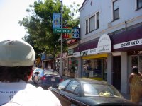
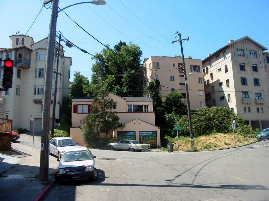
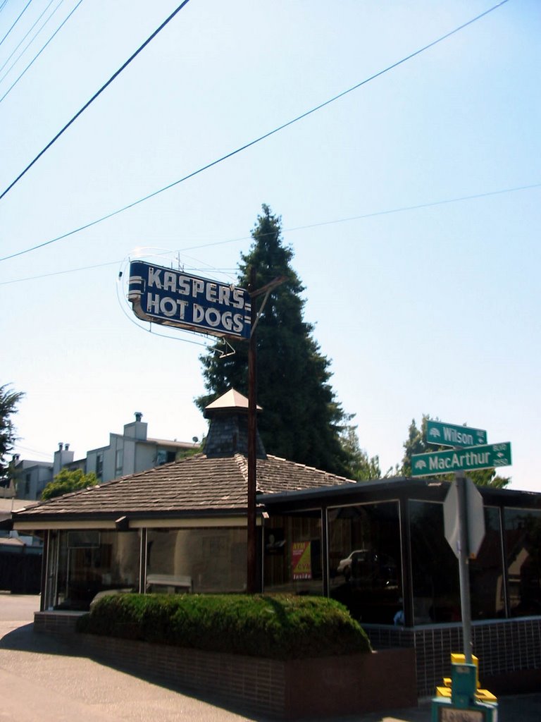
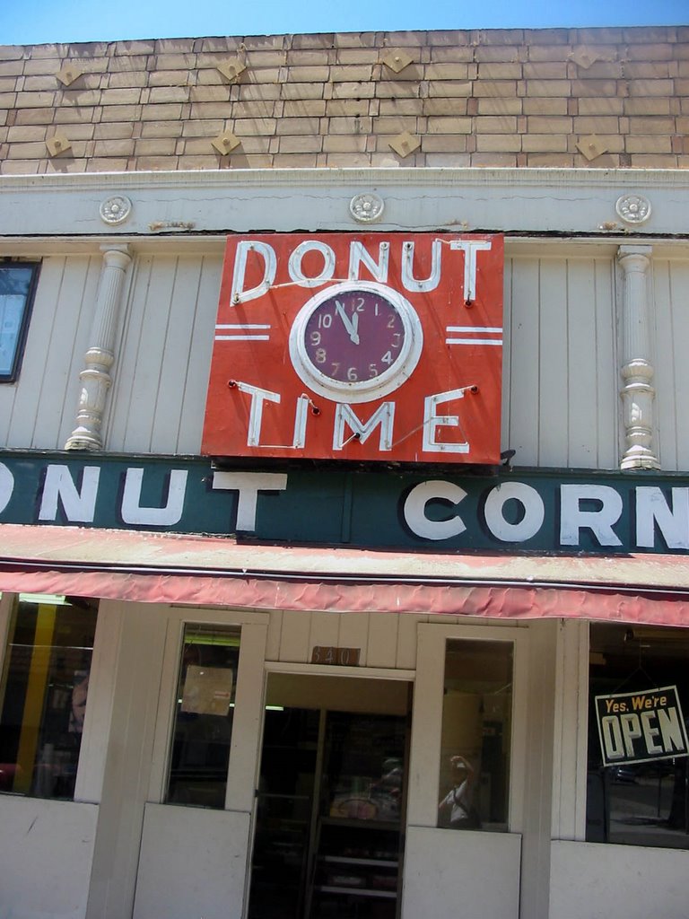
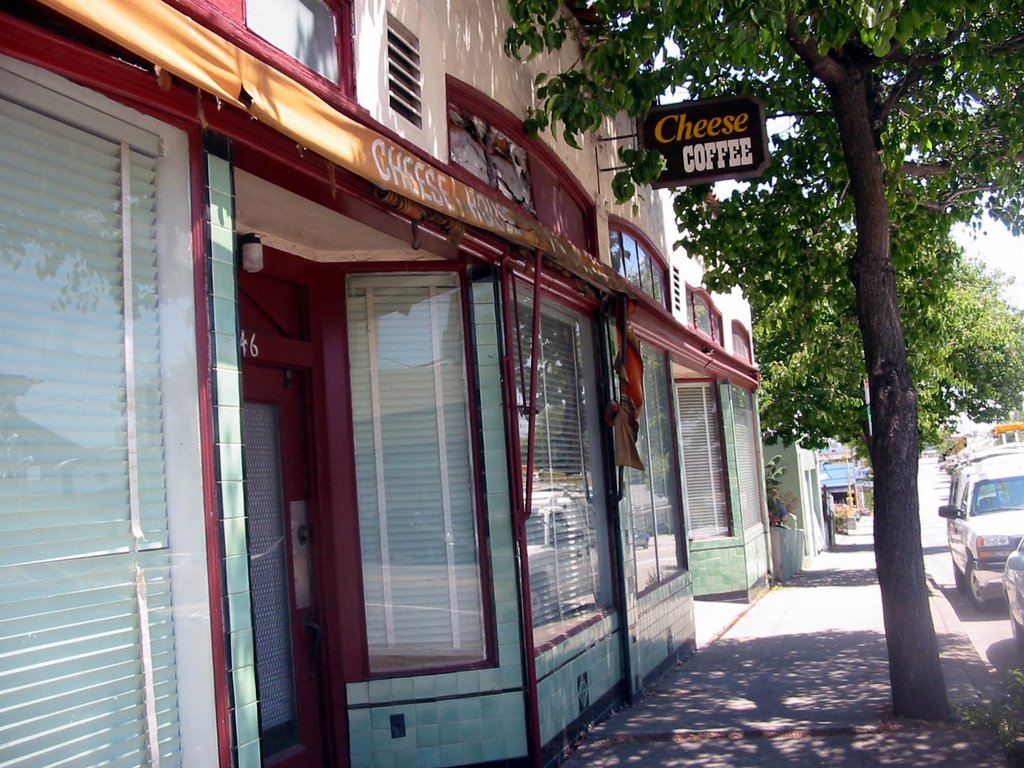
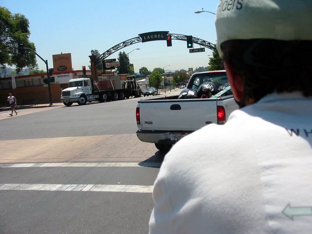
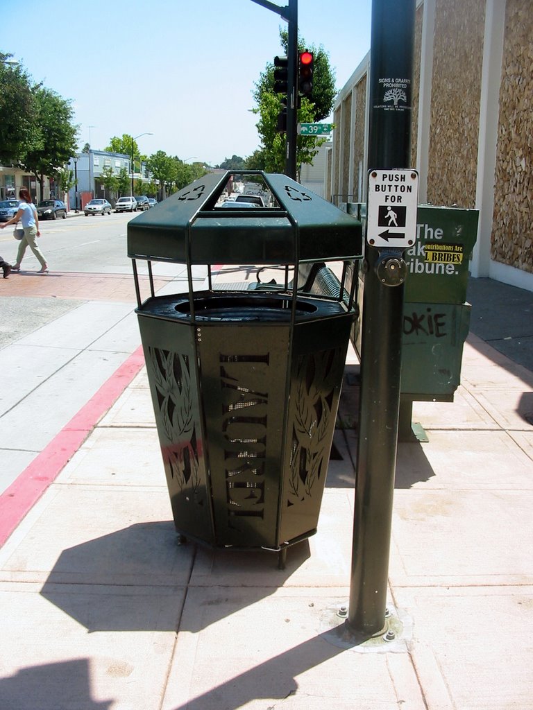
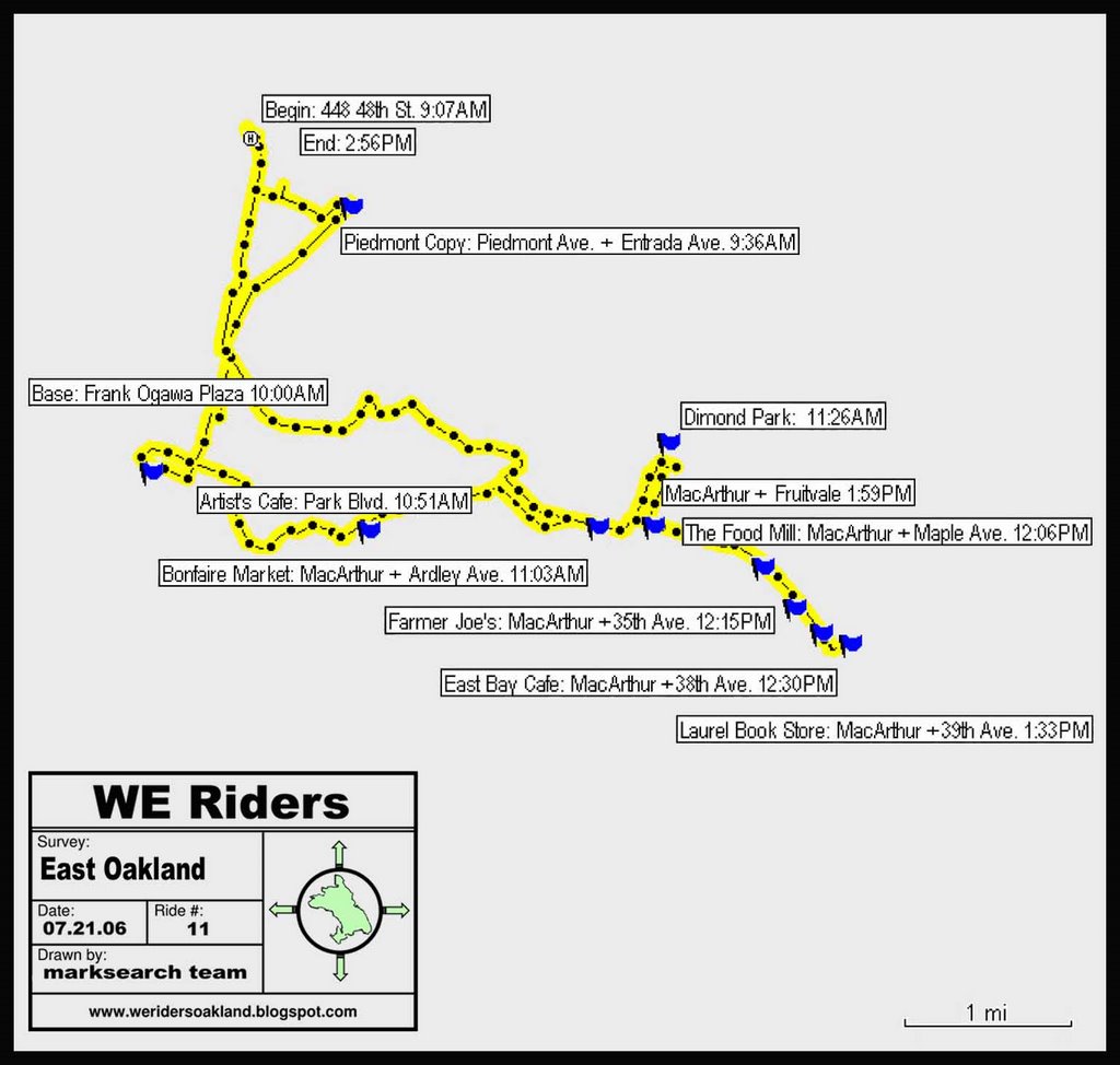
Our goal was the Laurel District for a lunch stop. We were struck by how ‘small town’ the district felt. As you come down MacArthur’s hill, you are first greeted by a huge arching sign announcing the district. And then it seems everywhere you turn, you see the name “Laurel”: on tree gratings, garbage cans and all manner of stores. Lots of local pride!


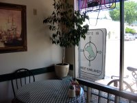
After a short walk around, we stopped at the Bay Café for a bite to eat. The café was crowded and air-conditioned; both were good signs. We parked our rig right by the front window where we sat; it was fun to see people slow down and read our sign, think a minute and then walk on. We wondered what stories they would tell about their experience.


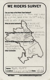
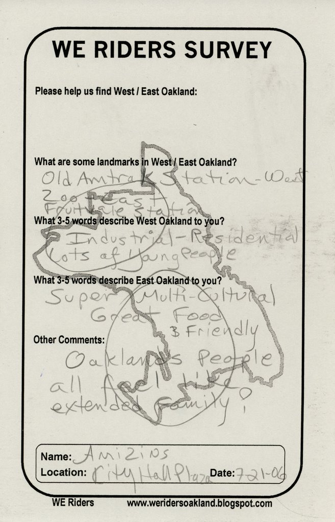
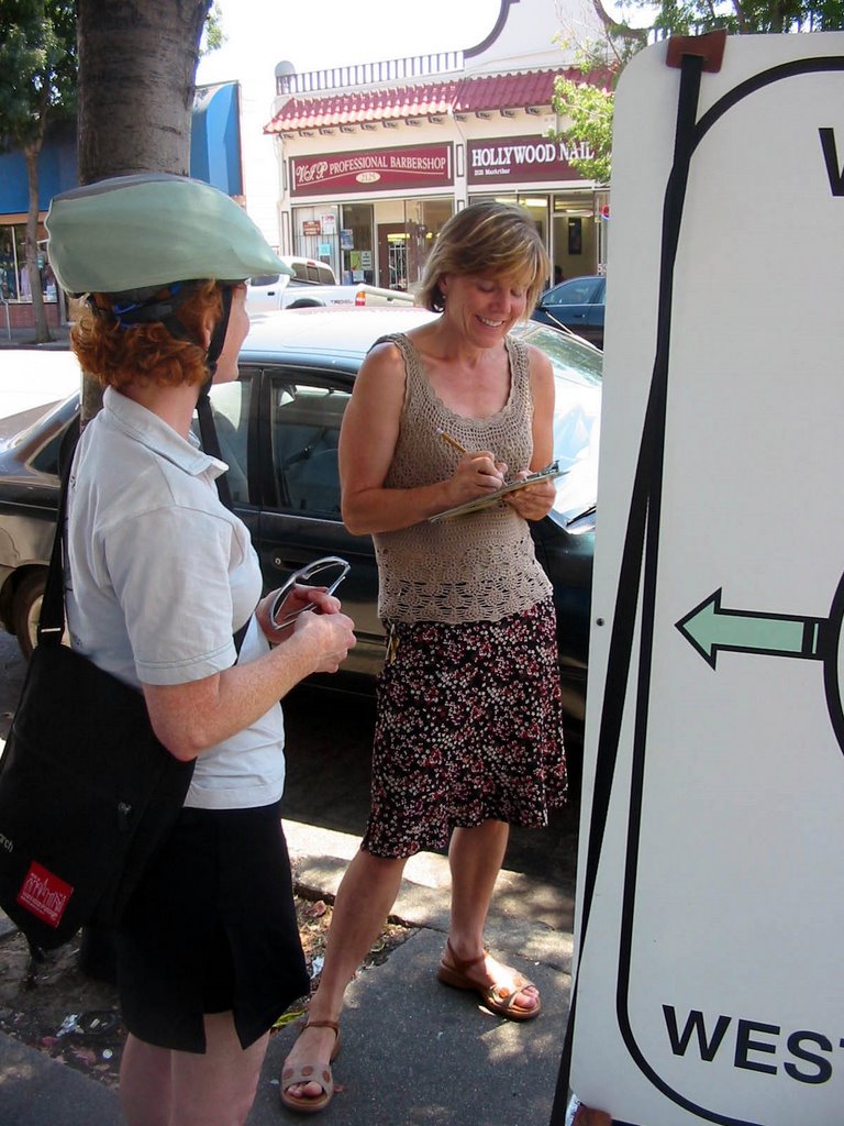
Just as we were finishing up our lunch (very hearty home-style sandwiches, served with pickles and chips), a guy stopped at our table wanting to know what our project was all about. He told us that he has been seeing us ride around Oakland these past weeks, but has never been in a spot where he could talk to us. He described East Oakland as “home, neighborhoods, hills/flats”. His map was very detailed, differentiating between East Oakland and Deep East. Lake Merritt is a small island in the middle of the city between West and East Oakland. He appreciated the project and was happy to participate; he felt that it is important for people to pay attention to the shape of the city. We asked him about the name of this neighborhood: do people call it the Laurel, Laurel District, or simply Laurel? We had seen all three versions of the name on various street facades. He told us, “Most people call it ‘the Laurel’”.


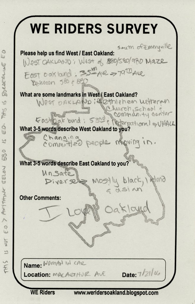
We talked to a few more people as we were getting ready to leave the Laurel. In response to our question, as to whether we were in East Oakland, one woman told us, “This is definitely East Oakland, honey, because my car insurance let’s me know!”

Towards Home:

We distributed our flyers to a few more local Laurel spots and then made our way back home. We had to unexpectedly pull over; the batteries in our digital camera died. Immediately behind us, a car tucked into a parking spot. We didn’t pay much attention until a woman came out of her car onto the sidewalk, laughing and saying. “I HAD to stop, I am just so curious. What are you guys doing? What is this all about?” We told her our story; then she shared hers with us. She had a very personal East Oakland boundary: the U-Haul depot on 53rd and International. Turns out that she has moved a lot recently, but has finally settled in the Laurel. When we asked her if this was East Oakland, she said “This is definitely not East Oakland. Anything below the 580 is East Oakland. This is Borderline East Oakland.” This was a new distinction for us!


Where Are We Now?

As we made our way back to North Oakland, we passed through a very tidy and Hollywood-esque neighborhood on Trestle Glen. We weren’t sure if this area was considered part of East Oakland. Unfortunately, we didn’t see anyone to ask out on the street.

GPS Route:

Monday, July 17, 2006

HEADING EAST: JULY 16, 2006

To Chinatown:
On this brilliant and scorching Sunday, we first rode to Chinatown. A number of people who we surveyed wondered whether Chinatown was part of downtown or East Oakland. We thought what better way to find out than to ask people there! The area was full of hustle and bustle---Oakland’s Chinatown covers about 8 city blocks, roughly from 12th to 7th Street and Harrison and Broadway. It is less tourist-driven than San Francisco’s Chinatown and is filled with myriad shops, tea houses, herbalists, grocers and restaurants as well as many residential buidlings. Chinatown is now a pan-Asian community including Chinese, Vietnamese, Korean, Filipino, Japanese, Cambodian, Laotian, Mien, Thai, Samoan and others. Check out the excellent Wikipedia entry to learn about Chinatown's history and development.


The Pacific Renaissance Plaza:

We had trouble figuring out where to set up our rig: most sidewalk space was occupied by spillover from store displays and trucks unloading various goods. We finally decided to pull into the Pacific Renaissance Plaza located at Franklin and 9th since we figured that there would be a lot of casually foot traffic there. The Plaza is a comfortable mini-mall nestled among some towering residential buildings. Inside you can find restaurants, cafes (we highly recommend the sweet shop next to the B of A: they serve excellent tapioca fruit drinks), the Asian Branch of the Oakland Library and the Asian Cultural Center. This plaza was built as a redevelopment project in the early 1990s. Due to community struggles during the 1970s and 1980s, the developer was required to build and pay for affordable housing, a library and community center as part of the project. We got the feeling that this was a strong neighborhood gathering place even though in 2003 it was the site of a huge tenant-developer conflict.


While there were lots of people of all ages strolling about, sitting at the fountain area and on benches, people were very reluctant to talk to us. We thought this might be an issue of language; we tried to encourage people to respond to our survey written in Chinese. One older man just raised his hands in confusion and smiled. We did speak to one woman; she thought that both West and East Oakland are dirty and that Chinatown in “the dividing line between them.”

Then the security guard saw Erin filming the scene; he approached us but carefully avoided being caught on tape. He ducked and scooted around, all the while smiling and saying, “Please, you can’t do this here.” I asked him if this was public space, and he replied “No.” Seems like these redevelopment plazas are not so conducive to free speech.

So out we rolled, and set up on the sidewalk at the Plaza’ entrance. Some people slowed down to look at our trailer, but few stopped. We did speak with a group of women from Danville, as it turns out, who came to visit the Plaza for dim sum. They didn’t know anything about Oakland.