
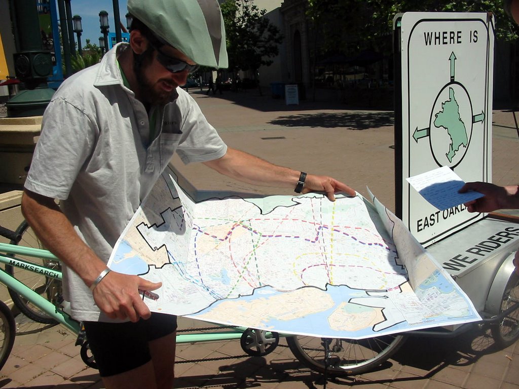
HEADING WEST: MAY 31. 2006
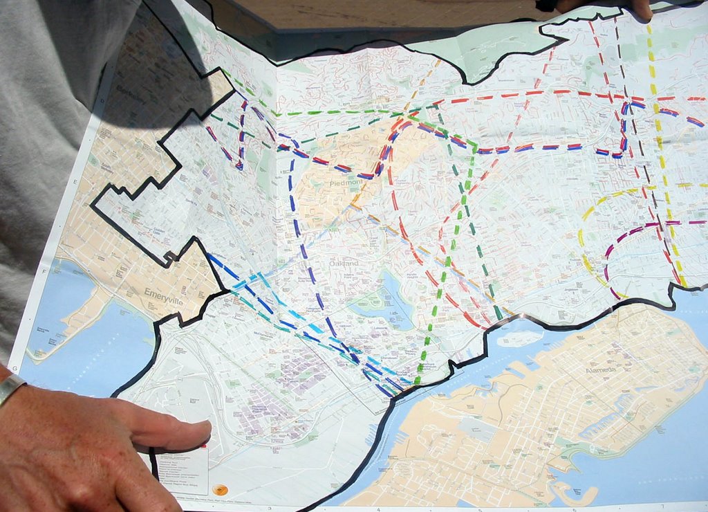
To venture into the so-called western and eastern regions of the city, we layered all of the responses we had received from our two City Hall visits onto the Walk Oakland map. By doing this, we could see how far people's perceptions of the regions spanned and where their areas of overlap lay. Cool colors denote the 'boundaries' of the west and warm colors denote 'boundaries' of the east.
posted by marksearch at 7:58 PM
![]()
![]()

0 Comments:
Post a Comment
<< Home